

The answer
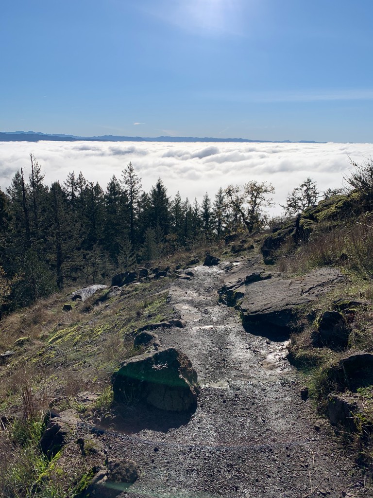
Choose the route by its terrain and the time you have. A short trail with a steep climb can be more demanding than a longer, nearly level walk.
Local hikes and walks to compare
| Destination | What the outing involves | Planning resource |
|---|---|---|
| Spencer Butte | A summit climb in South Eugene; the Main and West routes differ in difficulty | Spencer Butte guide |
| Ridgeline Trail system | Connected woodland trails with multiple trailheads and route lengths | City trail maps |
| Mount Pisgah | About 3 miles round trip on the west summit route, with substantial climbing | Mount Pisgah guide |
| Mount Pisgah Arboretum | Choose among shorter river, meadow, and woodland routes within the larger park | Arboretum trail information |
| Hendricks Park | Garden and forest paths in a hillside park | Hendricks Park guide |
| Skinner Butte | A short urban climb, with riverfront walking options nearby | City park maps |
| Amazon paths | Options for a walk or run without committing to a summit | City path maps |
| Thurston Hills Natural Area | A Springfield trail network with designated hiking and mountain-bike routes | Willamalane's current map and notices |
Distances depend on your trailhead and route. Use the map for the outing you intend to take, and check the managing agency's notices before leaving.
Spencer Butte and the Ridgeline trails
Spencer Butte is a familiar choice when you want a climb and a broad view. The Main Summit Trail approaches through forest and finishes with stone steps near the exposed summit. The West Trail includes steeper rock and scrambling, so it should be a deliberate route choice.
For a different outing, use the wider Ridgeline network. Starting from Fox Hollow, Dillard Road, or another signed trailhead lets you choose a walk that does not require reaching the summit. Check the city map for connections and permitted uses.
Mount Pisgah and the arboretum
Mount Pisgah's west summit route is a substantial climb with limited shade. A sunny day can feel quite different there from a shaded woodland walk. Bring enough water and allow time for the descent.
The arboretum offers a different visit within Howard Buford Recreation Area. Its trail descriptions include surface and grade information, which helps when choosing a shorter route or planning around mobility needs.
Parking requires the applicable Lane County pass. Check our Mount Pisgah guide and the county's current notice for parking work and access changes.
Shorter walks near town
Hendricks Park, Amazon paths, and riverfront routes can work well when you want a shorter outing. They are also useful alternatives when a summit climb would take more time or energy than you have available.
Decide whether you want a paved path, a garden walk, or a dirt trail. Surface, slope, and access matter more than a general “easy hike” label. The city's park and trail maps include an accessibility-guide link.
Waterfall hikes and longer day trips
These destinations involve a drive beyond Eugene's urban trails. Plan the route and access before committing to a day.
Sweet Creek Falls
Sweet Creek is near Mapleton on the coastward side of Lane County. Its creekside scenery makes it worth considering for a longer outing, but access needs particular attention.
As checked October 4, 2026, Travel Lane County reports damage to the boardwalk and closure of the Homestead Trailhead section. Confirm current access with the Siuslaw National Forest and follow closure signs. Do not assume an older full-route description is usable.
Sahalie and Koosah Falls
These waterfalls are along the upper McKenzie River, with viewpoints and connecting trail options. Decide whether you want a short viewpoint visit or a longer walk between the falls. Mountain weather and seasonal road conditions can change the outing considerably.
Use the regional visitor guide and current Willamette National Forest notices when planning.
Brice Creek
Brice Creek lies beyond Cottage Grove and offers a creekside forest outing. Choose the trailhead and turnaround point in advance, leaving time for the drive. Review the regional trail listing and current Umpqua National Forest information before going.
Our waterfalls near Eugene guide covers more destinations, including options that deserve a separate day.
Weather, dogs, and trail access
Check weather, daylight, and access notices for the actual destination. Conditions near the Cascade passes can differ sharply from those in Eugene. Rain, ice, heat, smoke, and storm damage may change which outing makes sense.
Bring suitable footwear, water, and a route you can follow without relying on cell reception. Stay on designated trails and obey closures. If you bring a dog, check the specific area's leash rules and pack out waste. Rules for hikers, bikes, and horses also vary by trail.
Make trail access part of a home search
If you hike regularly, compare the actual route from a home to the trailhead you expect to use. South Eugene, Springfield, and the communities farther east offer different access patterns; a neighborhood name alone does not establish walking distance.
Explore South Hills, Fox Hollow, and Thurston, or read living in Eugene for the broader decision.
Eugene and Springfield properties
Contact Team Burke to discuss trail access alongside the other priorities for your home.
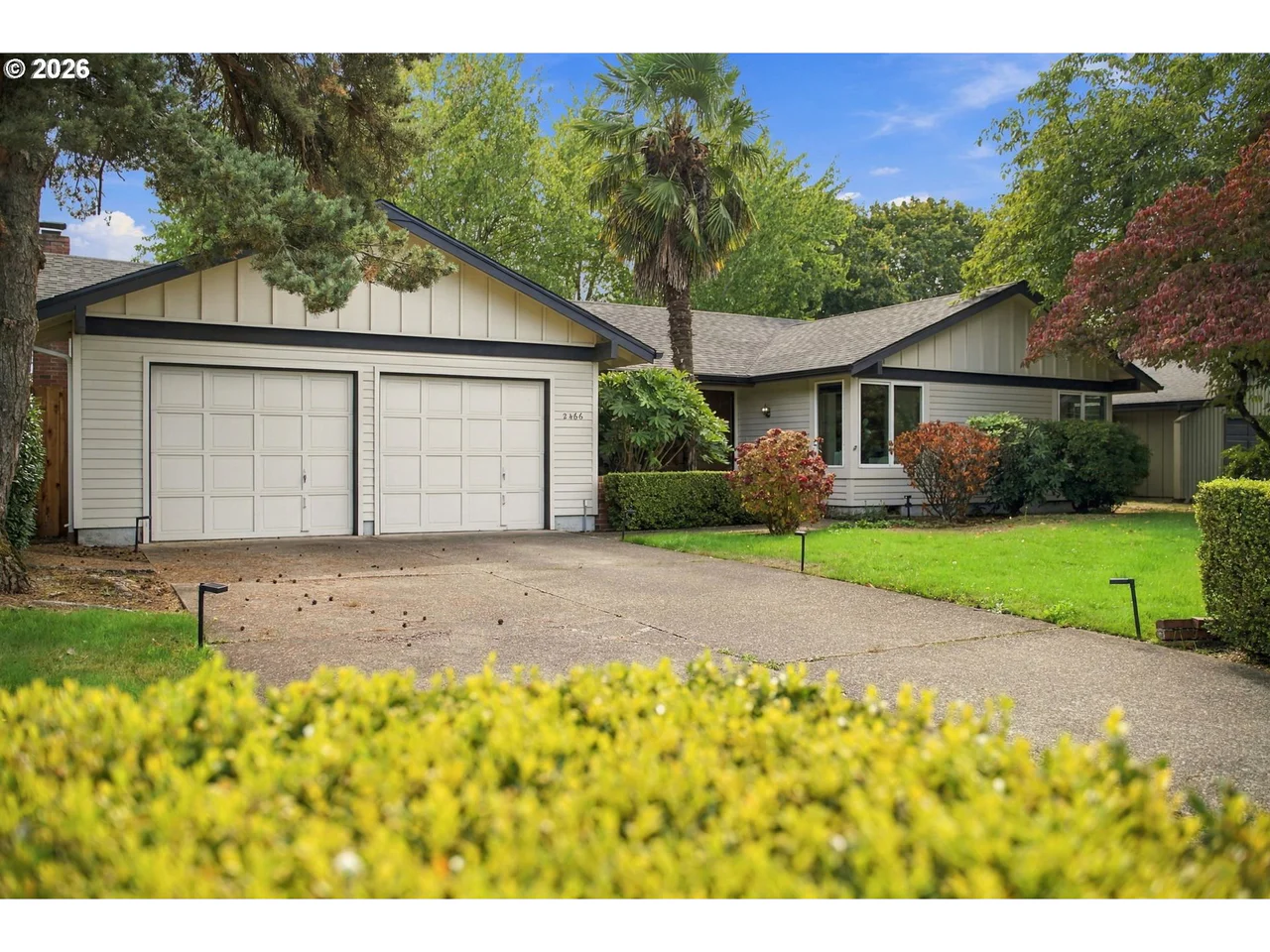

2466 Erin Way
Eugene, OR 97408
$529,000
3 bd · 2.0 ba · 1,536 sf · Eugene
Courtesy of Luke Puskedra and Shawna Locken, Triple Oaks Realty LLC · 801-866-5636 · RMLS · Oct 14, 2026, 12:34 AM

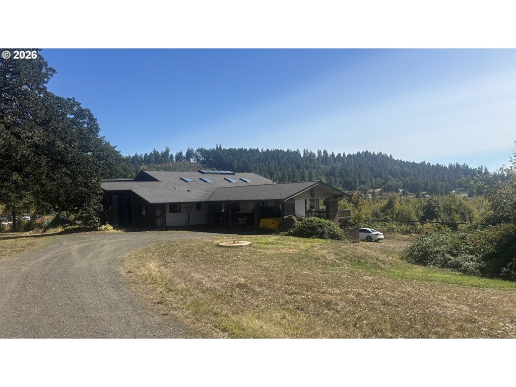
86635 Pine Grove Rd
Eugene, OR 97402
$775,000
4 bd · 4.0 ba · 4,573 sf · Eugene
Courtesy of Igor Masic, Mapa Realty NW LLC · 503-780-5011 · RMLS · Nov 1, 2026, 3:17 PM
Listed by
Igor Masic
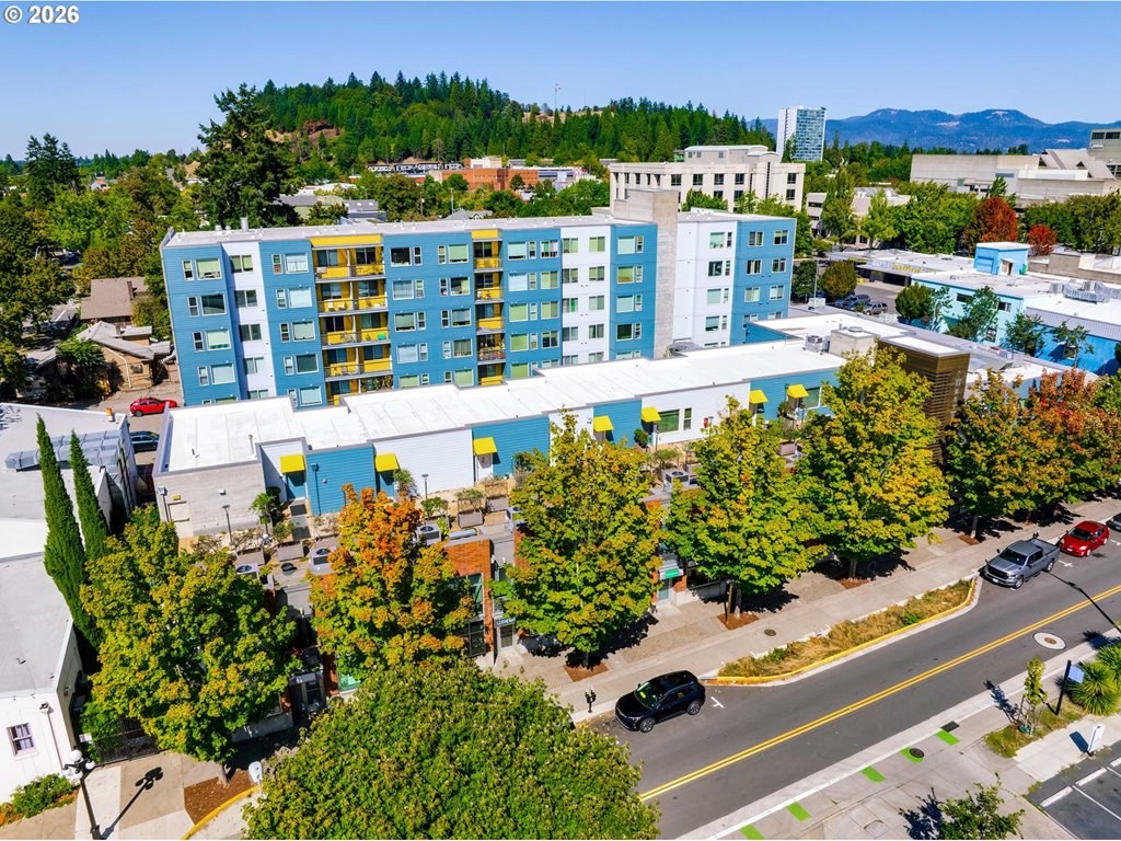
265 W 8th Ave
Eugene, OR 97401
$11,639,000
Beds — · 94,861 sf · Eugene
Courtesy of Kristena Cox, Windermere RE Lane County · 541-501-3399 · RMLS · Nov 1, 2026, 7:12 AM
Listed by
Kristena Cox
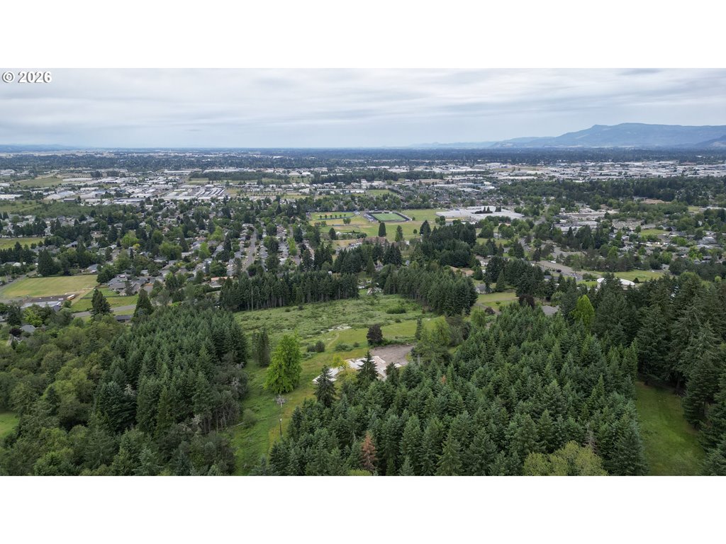
2400 S Louis Ln
Eugene, OR 97405
$8,250,000
Beds — · Eugene
Courtesy of Jordan Lundstrom and Michael McKillion, Keller Williams Sunset Corridor · 503-701-8179 · RMLS · Nov 1, 2026, 7:12 AM
Listed by
Jordan Lundstrom and Michael McKillion
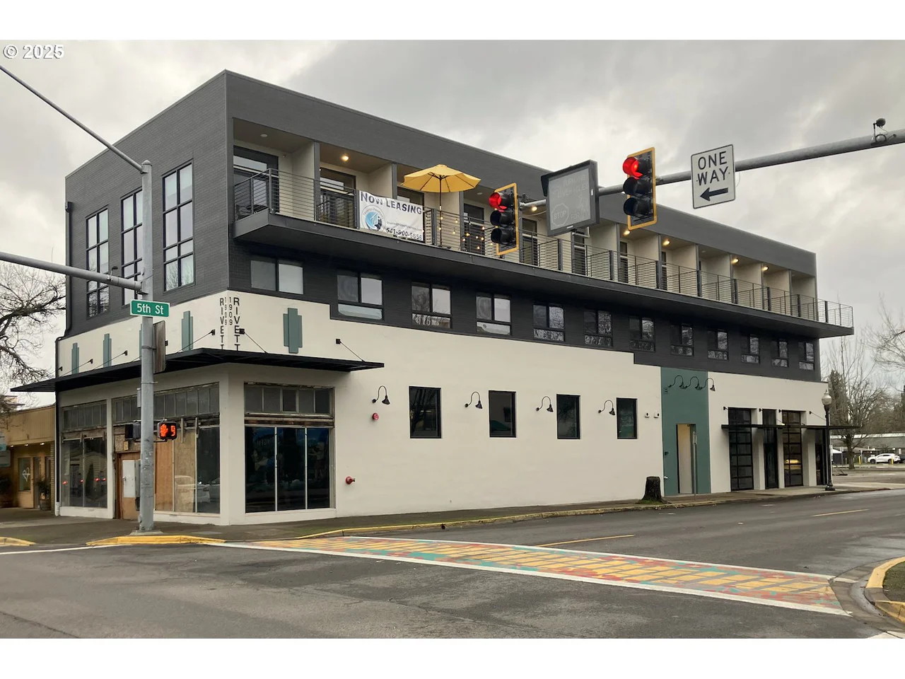
488 Main ST
Springfield, OR 97477
$4,950,000
Beds — · 13,408 sf · Springfield
Courtesy of Kristena Cox, Windermere RE Lane County · 541-501-3399 · RMLS · Nov 1, 2026, 7:12 AM
Listed by
Kristena Cox
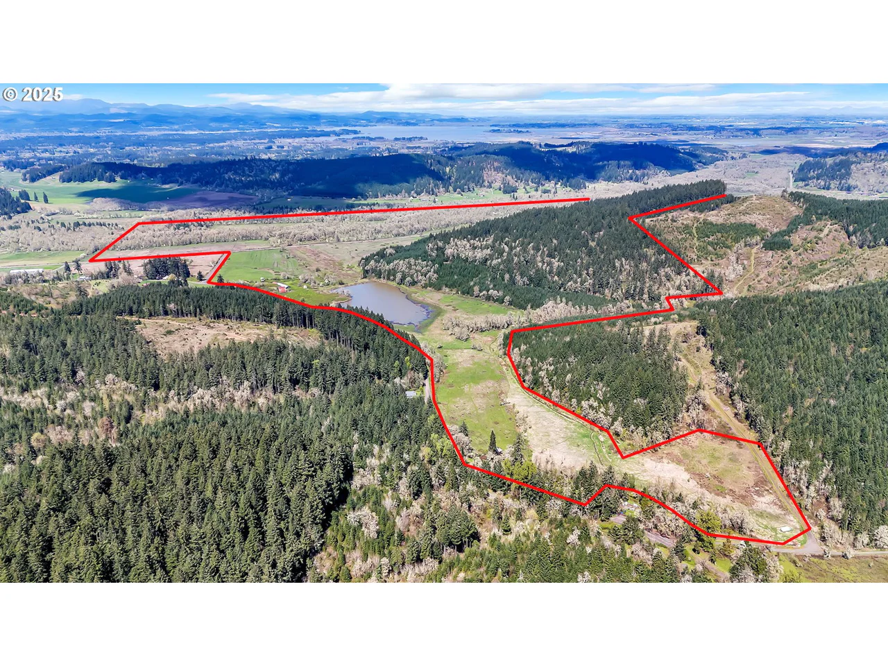
26900 Crow Rd
Eugene, OR 97402
$4,600,000
Beds — · Eugene
Courtesy of Kyla Egge, Triple Oaks Realty LLC · 541-913-0072 · RMLS · Nov 1, 2026, 7:12 AM
Listed by
Kyla Egge
Questions about hiking near Eugene
What is a good first hike near Eugene?+
Choose according to your comfort with climbing. A shorter Hendricks Park walk or an arboretum route may be a better introduction than a summit. If you want a climb, compare Spencer Butte's Main Trail with Mount Pisgah's west summit route.
Which hikes have views?+
Spencer Butte and Mount Pisgah are established summit choices. Visibility depends on the weather. Skinner Butte offers an urban viewpoint with a shorter climb, depending on where you start.
Are there easy or accessible walks?+
Look at riverfront paths, selected Amazon routes, and the arboretum's published trail descriptions. Check surface, slope, distance, and facilities for your needs; not every path within the same park has the same accessibility.
Can I hike with a dog?+
Dogs are allowed on many local routes, subject to posted rules. Spencer Butte's city trailhead guidance requires leashes. Mount Pisgah's summit trails and arboretum also have leash requirements. Check the destination's current information rather than applying one rule to every park.
Is winter hiking possible?+
Often, but choose around the day's conditions and any closures. Mud, ice, and shorter daylight affect local trails. Waterfall trips in the mountains require a separate check of road access and winter conditions.
Do I need a parking pass?+
Requirements depend on the trailhead. Mount Pisgah uses Lane County parking passes; city parks and federal recreation sites have their own arrangements. Check the specific access point before you leave.
How do I choose between a local hike and a day trip?+
Include the drive, parking, walking time, and return trip in your plan. A nearby trail is easier to fit into a short visit. Save the longer waterfall outings for a day when you have time to adjust if access or weather changes.