

The answer
Waterfalls near Eugene, Oregon are day trips, not a Tuesday after work: Salt Creek Falls off Highway 58 (Oregon’s second-highest single drop at 286 feet, viewpoint about 50 yards from the lot), Sahalie and Koosah on the McKenzie (Highway 126), Tamolitch Blue Pool and Proxy Falls farther east, Sweet Creek and Kentucky Falls toward Mapleton / Florence, and Brice Creek, Moon, Pinard, and Trestle Creek south of Cottage Grove. Travel Lane County lists 18 named falls in the region and a visitor line at 541.484.5307 for daily conditions. Northwest Forest Pass or a day-use fee is common on USFS lots. Snow closes McKenzie and 58 access in winter — check Willamette National Forest before you drive. Shawna Locken maps the corridor you will actually repeat to Walterville, Oakridge-direction south metro, Cottage Grove, or Florence — not a 97401 condo because the photo was pretty.
Named falls from the official regional list — drive corridor and housing match
| Fall | Where / effort | Housing conversation |
|---|---|---|
| Salt Creek Falls | Hwy 58 near Oakridge / Willamette Pass · 286 ft · paved viewpoint | South-metro / 58 habit, not Cal Young |
| Sahalie & Koosah | Hwy 126 near McKenzie Bridge · short waterfall loops | Walterville / Leaburg / Vida |
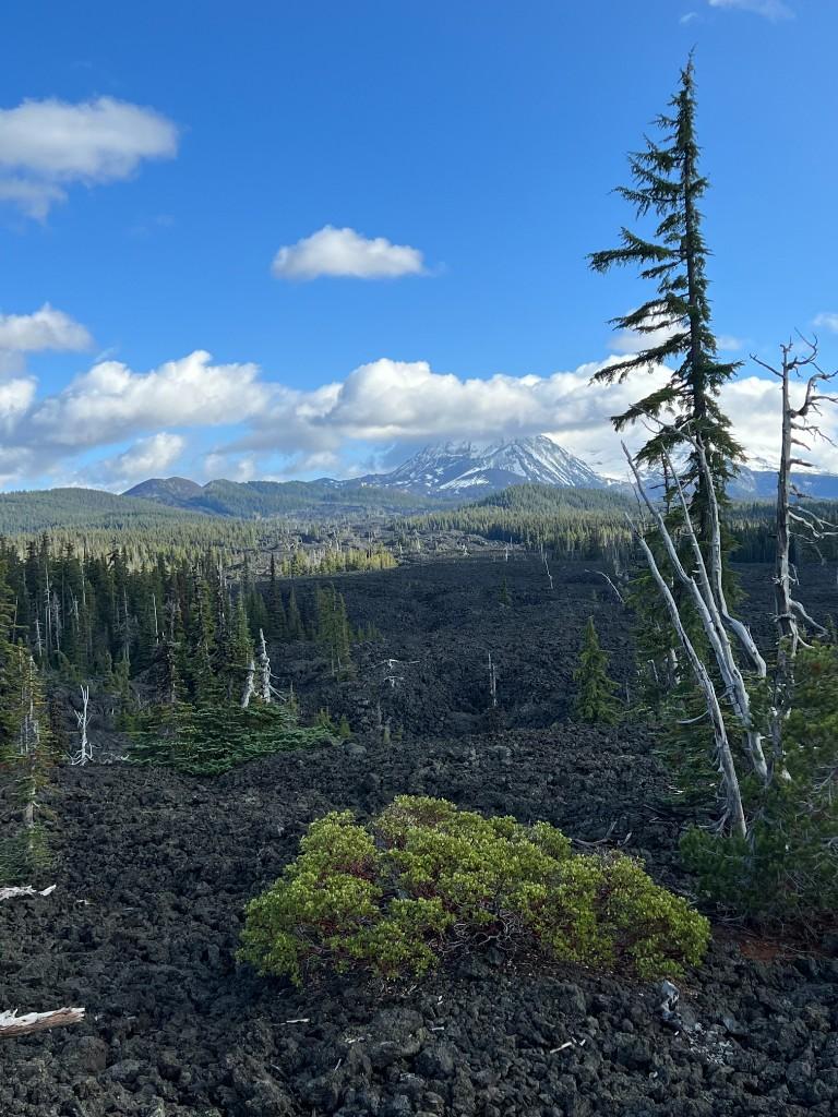
| Tamolitch Blue Pool | McKenzie River Trail · lava + turquoise pool · day hike | McKenzie corridor |
| Proxy Falls | Hwy 126 to 242 · seasonal high-cascade access | McKenzie Bridge weekend, not a school-run |
| Sweet Creek Falls | ~2 mi toward Mapleton on 126 · slippery rock | Florence if this is monthly |
| Kentucky Falls | Siuslaw NF off 126 toward Mapleton · longer forest hike | Coast-range day · Florence desk |
| Diamond Creek Falls | Same Salt Creek observation area · longer loop | Oakridge-Westfir outing |
| Brice / Moon / Pinard / Trestle | Cottage Grove forest roads · spring access on some | Cottage Grove if this is the weekend |
Named falls and 286-ft Salt Creek figures align with Travel Lane County (www.eugenecascadescoast.org/outdoors/scenic-landscapes-nature/waterfalls/ and Salt Creek page). Passes: www.eugenecascadescoast.org/outdoors/know-before-you-go/recreation-passes-permits/. USFS and ODOT win on closures.
Homes on the corridors these falls actually sit on
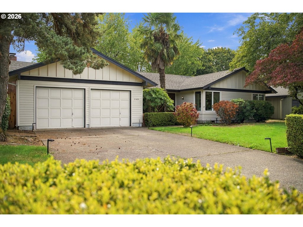
2466 Erin Way
Eugene, OR 97408
$529,000
3 bd · 2.0 ba · 1,536 sf · Eugene
Courtesy of Luke Puskedra and Shawna Locken, Triple Oaks Realty LLC · 801-866-5636 · RMLS · Sep 17, 2026, 11:54 PM

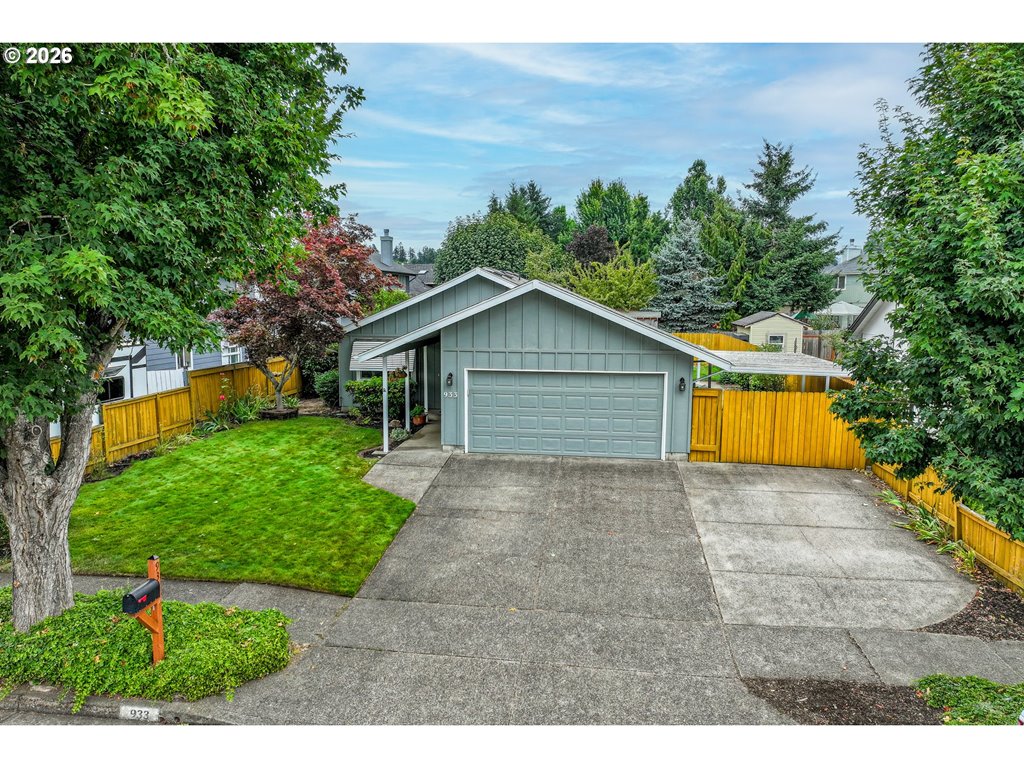
933 S 44th St
Springfield, OR 97477
$409,900
3 bd · 2.0 ba · 1,304 sf · Springfield
Courtesy of Beth Blackwell and Delena Laiblin, Triple Oaks Realty LLC · 541-359-9376 · RMLS · Sep 17, 2026, 11:14 PM
Listed by
Beth Blackwell and Delena Laiblin
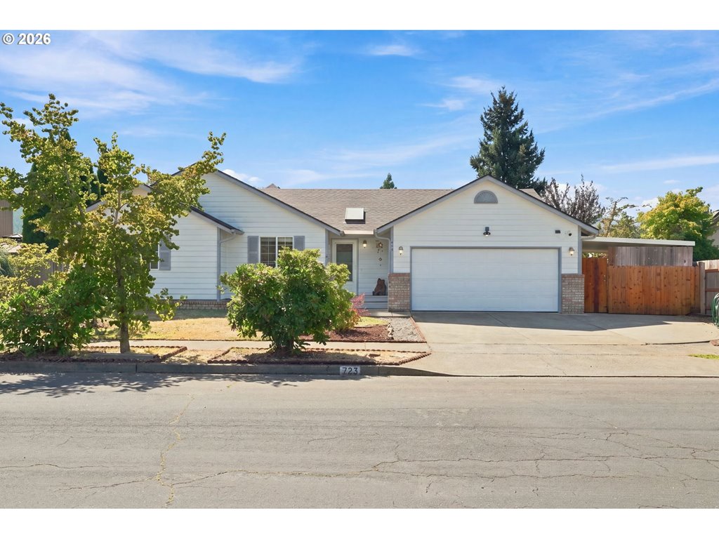
723 71st St
Springfield, OR 97478
$429,000
3 bd · 2.0 ba · 1,536 sf · Springfield
Courtesy of Christopher Bauman, Triple Oaks Realty LLC · 541-632-2045 · RMLS · Sep 17, 2026, 6:34 PM
Listed by
Christopher Bauman
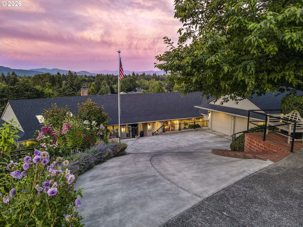
420 Spyglass Dr
Eugene, OR 97401
$1,295,000
3 bd · 2.2 ba · 4,068 sf · Eugene
Courtesy of Stacy Haugen and Jon Burke, Triple Oaks Realty LLC · 541-915-3888 · RMLS · Sep 17, 2026, 5:39 PM


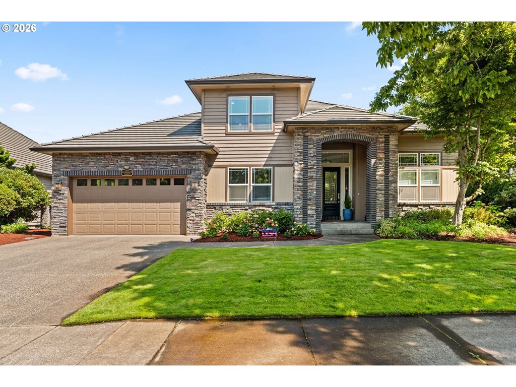
3489 Riverplace Dr
Eugene, OR 97401
$950,000
4 bd · 2.1 ba · 2,852 sf · Eugene
Courtesy of Anna Chapman, Triple Oaks Realty LLC · 541-513-0174 · RMLS · Sep 17, 2026, 3:44 PM
Listed by
Anna Chapman
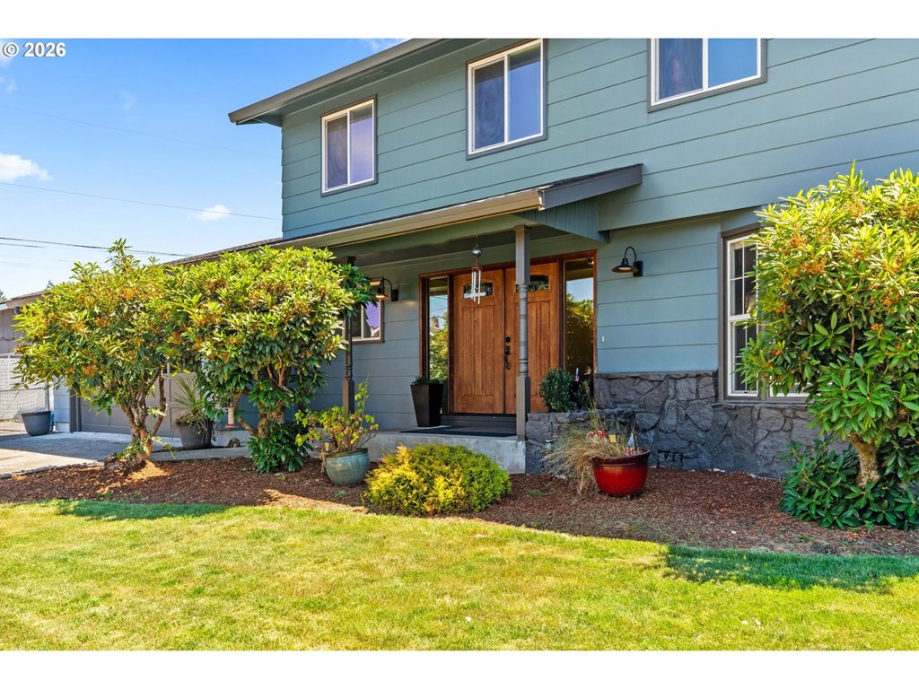
3835 Winslow Ave
Springfield, OR 97477
$580,000
4 bd · 2.1 ba · 2,408 sf · Springfield
Courtesy of Anna Chapman, Triple Oaks Realty LLC · 541-513-0174 · RMLS · Sep 17, 2026, 3:44 PM
Listed by
Anna Chapman
What ranks for this search — and what we add
Google’s page one is the tourism board directory, Reddit threads, and a 13-fall listicle. Those pages win on names. This page wins for relocators: which highway, which pass, which pocket. Hiking near Eugene is the in-town trail file. This URL is the waterfall day.
Highway 58: Salt Creek and Diamond Creek
Salt Creek Falls is Oregon’s second-highest single drop (286 feet). The primary platform is about 50 yards from the parking lot and wheelchair accessible; a steep stair trail reaches a lower view. Day-use fee or recreation pass. Facilities close in winter; the lot sits next to Salt Creek Sno-Park. Diamond Creek Falls is the longer loop from the same observation site. If this is a monthly outing, you are living with Highway 58 — south Eugene or a weekend cabin story, not a Beltline-only commute.
Highway 126 east: Sahalie, Koosah, Tamolitch, Proxy
Sahalie and Koosah sit near milepost 5 toward McKenzie Bridge — short loops, big water. Tamolitch Blue Pool is the lava-and-turquoise hike on the McKenzie River Trail. Proxy Falls is farther, often via 242 when that road is open. Winter ice and snow are the file. Walterville, Leaburg, Vida, and McKenzie Bridge are the housing conversation if the river is the life.
West and south: Sweet Creek, Kentucky, Cottage Grove
Sweet Creek toward Mapleton is the family-friendly coast-direction hike (~1 hour). Kentucky Falls is deeper in the Siuslaw. Cottage Grove’s Moon, Pinard, Spirit, Brice, and Trestle Creek falls need forest-road patience and spring timing. If you want those every month, shop Cottage Grove or Florence — not a downtown condo because a reel looked wet.
Passes, winter, and kids
Many lots need a Northwest Forest Pass or $5 day-use. Confirm the current pass page. Winter: in-town hiking still works; these waterfall highways often do not. Kids: Salt Creek’s paved viewpoint and Sahalie’s short loops beat a 4-mile lava hike. Call 541.484.5307 for tourism-board condition help, then call this desk for the house under the habit.
Waterfalls near eugene oregon — questions
Are there waterfalls near Eugene, Oregon?+
Yes — as day trips. Salt Creek on 58, Sahalie/Koosah and Tamolitch on the McKenzie, Sweet Creek toward Florence, Cottage Grove forest falls. None are a downtown lunch break.
What is the closest waterfall to Eugene?+
Lower Lake Creek Falls off Highway 36 (Triangle Lake) is the near-west option on the tourism list. Most people mean Salt Creek (~1–1.25 hr on 58) or Sahalie on 126. Confirm seasonal access.
Do I need a pass?+
Often yes on USFS lots — Northwest Forest Pass or a posted day-use fee. Salt Creek is a fee area. Buy or confirm at www.eugenecascadescoast.org/outdoors/know-before-you-go/recreation-passes-permits/.
Which waterfall is best with kids or a stroller?+
Salt Creek’s paved upper platform is the wheelchair-accessible start. Sahalie’s short loops are the usual McKenzie kid day. Tamolitch is a real hike on lava.
Can I see waterfalls in winter from Eugene?+
Some years, some roads. 58 and 126 ice. Facilities at Salt Creek close in winter. In-town trails are the honest January file; waterfall highways are a weather call.
Is Salt Creek Falls taller than Multnomah?+
No. Official tourism copy: Salt Creek is Oregon’s second-highest single drop at 286 feet. Multnomah is higher.
How does this relate to buying a house?+
If you will drive 126 east twice a month, look at the McKenzie towns. If 58 is the habit, south-metro and the pass. If Sweet Creek is monthly, Florence. Shawna will not let a waterfall reel pick a zip by itself.
Is this the same as hiking near Eugene?+
No. Hiking near Eugene is in-town trails (Spencer, Ridgeline, Hendricks). This URL is the waterfall day trip. Use both; do not merge them.