

The answer
From the Trail Bridge Reservoir approach, the Forest Service lists 2.1 miles to the pool, making the return hike approximately 4.2 miles. Plan for a substantial outing with time for the drive, parking, and a comfortable walking pace.
The hike at a glance
| Detail | What to plan for |
|---|---|
| Main approach | McKenzie River Trailhead: Tamolitch Blue Pool, near Trail Bridge Reservoir |
| Distance | Approximately 4.2 miles round trip from this approach |
| Terrain | Forest trail with rough lava rock and uneven sections |
| Difficulty | Rated moderate by the Forest Service |
| Water | Bring your own drinking water |
| Parking | Limited designated parking; highway shoulders and utility access points are not overflow spaces |
| Current site fee | None listed by the Forest Service when checked October 4, 2026 |
Use the official trailhead page for directions and access information. Other starting points produce different distances; the figure above is not the length of the entire McKenzie River Trail.
Getting there from Eugene
Travel east along Highway 126 through the McKenzie River area toward Trail Bridge Reservoir. Follow the Forest Service's current directions for the trailhead rather than navigating to an arbitrary pin on the edge of the pool.
Allow for the whole trip when setting your departure time. A navigation estimate covers driving, not parking, getting ready, hiking, or returning to the car. During busy periods, have a second outing in mind if the designated parking is full.
Do not park along Highway 126 or block EWEB facilities, access roads, or gates. Check Willamette National Forest alerts before leaving, especially when construction, wildfire activity, or storms may affect access.
What the trail is like
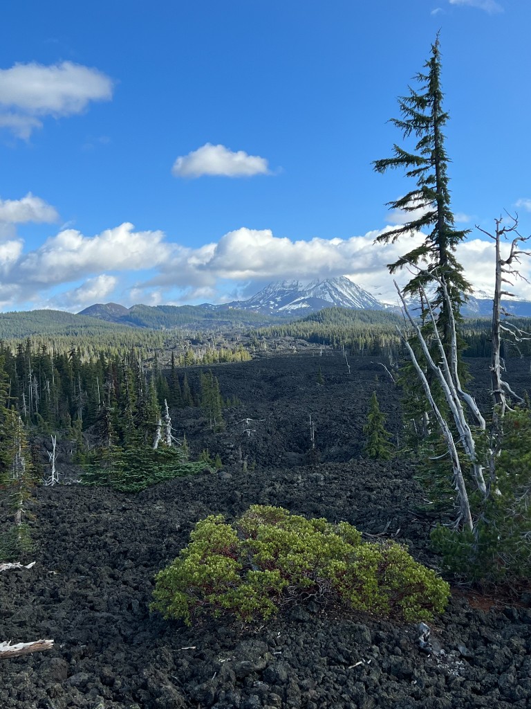
The route follows a forested section of the McKenzie River Trail and crosses rough volcanic terrain. Wear footwear with traction and give yourself enough time to negotiate uneven ground without rushing.
This is a shared hiking and mountain-biking area. Pay attention at narrow sections and follow posted trail guidance. If you are walking with children, choose a pace and turnaround point that work for the group, and supervise closely around steep edges.
The route is not a paved overlook walk and should not be treated as a stroller-accessible trail. If a short approach is important, compare the viewing areas at Sahalie, Koosah, or Salt Creek in our waterfalls guide.
What feeds Blue Pool, and why the waterfall may be dry
The Forest Service explains that a lava flow buried a stretch of the McKenzie River. Water moves through the rock and reappears at Blue Pool. Tamolitch Falls generally flows only when conditions send enough water over the surface; seeing a dry waterfall face is not unusual.
The official Blue Pool description provides the geology and trail details. You are visiting a natural basin with cliffs, rather than a developed swimming area.
Plan to view the water from a safe position
The Forest Service reports an average water temperature of about 37°F and warns of serious injuries and deaths associated with the site. Cold water, steep edges, and delayed emergency access make swimming or jumping a poor plan.
Stay back from cliff edges and enjoy the view from established areas. Do not scramble down a slope simply because other visitors are doing it. Phone service can be limited, so keep essential directions available offline and let someone know your route.
Season, weather, and fees
There is no site fee listed on the official trailhead page as of this review. That does not mean every stop along the McKenzie uses the same fee policy. Check each destination if you are combining several outings.
The trailhead is listed for year-round use, but access depends on weather and any closures. Snow and ice can change both the approach and footing. Winter conditions can turn a moderate summer hike into a substantially different trip.
In warmer weather, bring enough water and check fire restrictions. Follow current signs if parking or trail arrangements change. A saved route from a previous visit may no longer reflect the available access.
Considering life along the McKenzie?
You can visit Blue Pool from Eugene or explore living farther along the river. Compare Walterville, Vida, and other communities against your work, services, and housing needs. Talk with Shawna Locken and Team Burke if you want help planning that broader search.
Explore properties for sale
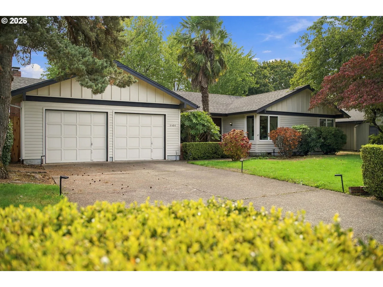
2466 Erin Way
Eugene, OR 97408
$529,000
3 bd · 2.0 ba · 1,536 sf · Eugene
Courtesy of Luke Puskedra and Shawna Locken, Triple Oaks Realty LLC · 801-866-5636 · RMLS · Oct 8, 2026, 7:13 AM

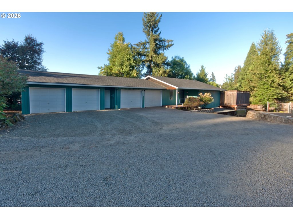

575 S 70th St
Springfield, OR 97478
$479,900
3 bd · 2.1 ba · 1,562 sf · Springfield
Courtesy of Donna Phibbs, Hybrid Real Estate · 541-343-0322 · RMLS · Oct 8, 2026, 8:09 PM
Listed by
Donna Phibbs
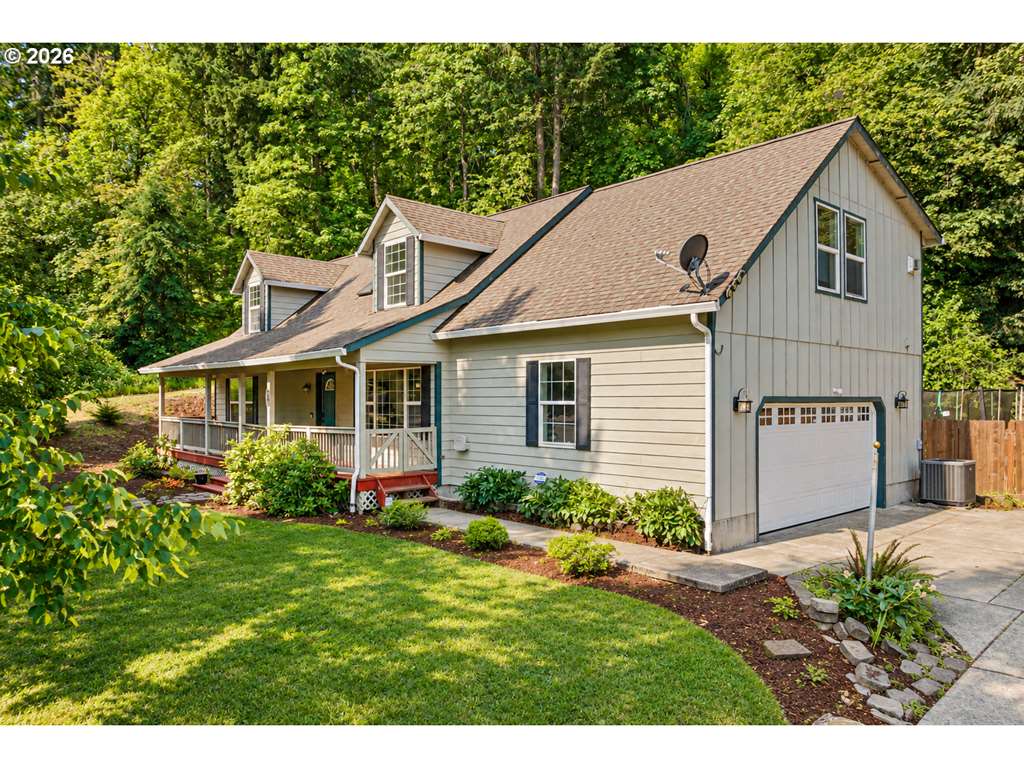
620 S 67th St
Springfield, OR 97478
$499,000
4 bd · 3.0 ba · 2,590 sf · Springfield
Courtesy of Blake Mitchell, United Real Estate Properties · simon@urepro.com · RMLS · Oct 8, 2026, 8:06 PM
Listed by
Blake Mitchell
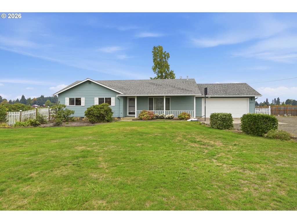
28095 Clear Lake RD
Eugene, OR 97402
$599,900
3 bd · 2.0 ba · 1,686 sf · Eugene
Courtesy of Skye Schuttpelz, United Real Estate Properties · simon@urepro.com · RMLS · Oct 8, 2026, 8:06 PM
Listed by
Skye Schuttpelz
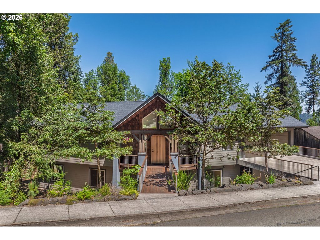
31 Marlboro Ln
Eugene, OR 97405
$999,000
6 bd · 3.1 ba · 4,021 sf · Eugene
Courtesy of Blake Mitchell, United Real Estate Properties · simon@urepro.com · RMLS · Oct 8, 2026, 8:05 PM
Listed by
Blake Mitchell
31 Marlboro Ln
Eugene, OR 97405
$999,000
Beds — · Eugene
Courtesy of Blake Mitchell, United Real Estate Properties · simon@urepro.com · RMLS · Oct 8, 2026, 7:56 PM
Listed by
Blake Mitchell
Blue Pool questions
How long is the Tamolitch Blue Pool hike?+
The Forest Service lists 2.1 miles each way from the Trail Bridge approach, or approximately 4.2 miles round trip. Extra walking from parking or using another trailhead changes the total.
Do I need a Northwest Forest Pass for Blue Pool?+
The official trailhead page lists no fee as checked October 4, 2026. Recheck it before visiting, and follow any updated site notices.
Can you swim in Blue Pool?+
Plan to enjoy it as a viewpoint. The water is extremely cold, the surrounding cliffs create serious hazards, and emergency help can take time to reach the site. Stay on established routes and keep back from the edge.
Is Blue Pool a good hike for children?+
That depends on their hiking experience and your ability to supervise around rough footing and steep edges. Review the full distance and conditions before deciding. A short waterfall viewpoint may be a better fit for some groups.
Is Tamolitch Falls the same place as Blue Pool?+
Yes. Both names refer to this location on the McKenzie River Trail. The waterfall can be dry while the pool remains fed by underground water.