

The answer
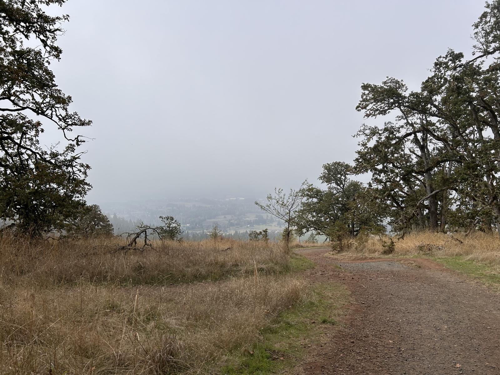
The Mount Pisgah hike in Eugene, Oregon is the 1,518-foot summit inside Lane County’s Howard Buford Recreation Area, about 15–20 minutes east of downtown on Seavey Loop. The principal hiker route is Trail #1 (Beistel’s West Summit): Lane County’s trails brochure lists it at about 1.5 miles one way with roughly 1,050 feet of gain — about 3 miles round trip, 1.5–2 hours for most hikers. AllTrails sits near 2.9–3.5 miles RT depending on the track. Trail #2 from the east lot is longer. This is not Mount Pisgah in North Carolina. Day-use parking requires a Lane County day pass or annual pass — currently $5 for a day pass, card machine or Passport Parking app. Dawn to dusk, year-round. Dogs on leash on the main summit paths. The trailhead mailing address is Eugene 97405; the housing conversation is Springfield, Thurston, and the Seavey Loop edge. Shawna Locken will not sell you a Cal Young ranch as “steps from Pisgah.”
Mount Pisgah hike in Eugene — mileage, parking, and which neighborhood makes it a habit
| Route / topic | Practical detail | Housing note |
|---|---|---|
| Trail #1 — West Summit | ~1.5 mi one way, ~1,050 ft, steep first half, little shade | Seavey Loop / east-metro default |
| Trail #2 — East Summit | 2.5 mi one way, ~1,000 ft, Ridgeway / east lot | Closer for some 97478 streets than the west lot |
| Arboretum loops | River-bottom miles, not the summit — 209-acre Mount Pisgah Arboretum | Kids and a short walk; still a parking pass |
| West trailhead | Seavey Loop / Frank Parrish — main lot + restrooms | Through Oct 2026: construction; North Bottomlands or East may be easier |
| Map / mileage | Lane County HBRA trails brochure for Trail #1 and #2; arboretum publishes its own loop maps | Two PDFs, two days — do not mash them |
| Thurston Hills | Newer Springfield natural area — several miles, closer to 97478 | Thurston — named pocket, Springfield schools |
| Spencer Butte | Shorter, steeper, free city lot on the Eugene side | South Hills / Fox Hollow — different zip, different life |
| More trails | Full hiking map (Ridgeline, day trips, mud) | See hiking near Eugene |
Summit elevation and park facts from www.lanecountyor.gov/government/county_departments/public_works/parks/our_parks/howard_buford_recreation_area. Trail #1 / #2 miles and gain from Lane County’s HBRA trails brochure. Parking fees from www.lanecountyor.gov/government/county_departments/public_works/parks/parking_pass_information — confirm before you go. AllTrails RT bands are user tracks, not the county map.
How long is the Mount Pisgah hike?
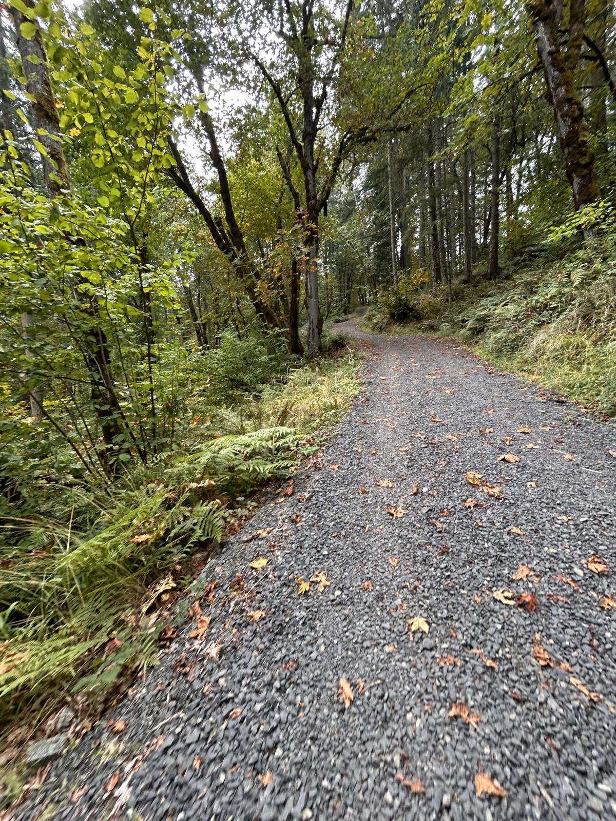
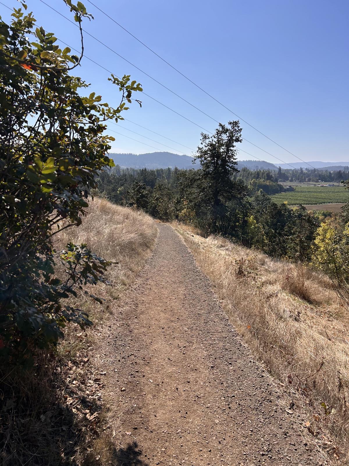
Most people mean Trail #1 from the west lot in Eugene: gravel, steep early, oak savanna, almost no shade, a bronze relief map at the top. Lane County lists about 1.5 miles one way (~3 miles RT, ~1,050 ft). AllTrails user tracks land around 2.9–3.5 miles RT and 1.5–2.5 hours. Trail #2 climbs the east ridge from the Ridgeway lot — longer, some woodland shade. The Mount Pisgah Arboretum on the west slope is a different day: short loops, education, a pavilion — not the summit workout. No bikes on HBRA trails. Poison oak and ticks are the file, not a rumor.
Is Mount Pisgah a hard hike?
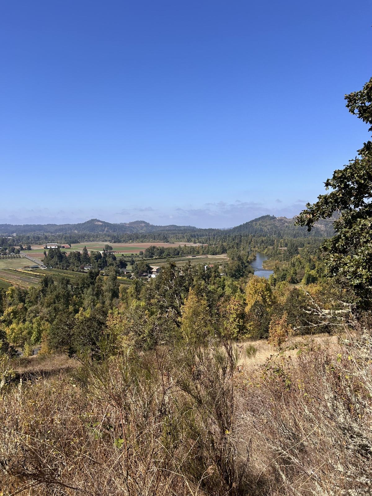
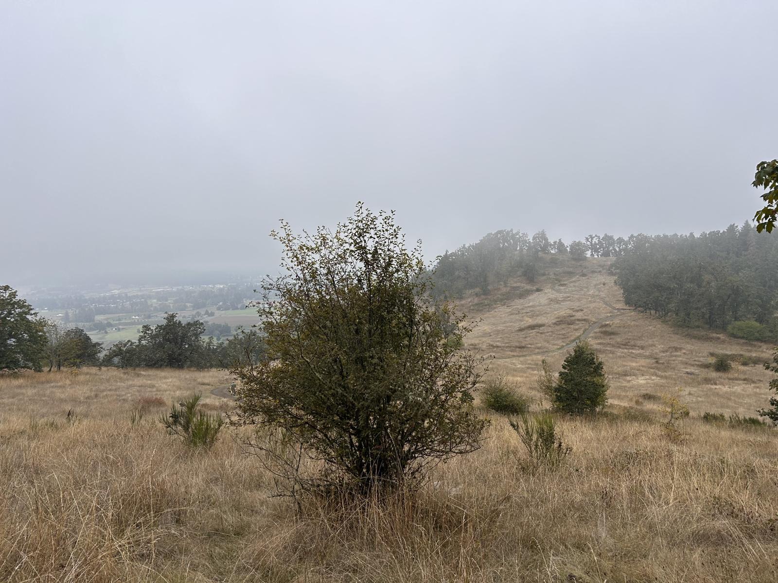
Moderate because it is steep, not because it is technical. The first half of Trail #1 is the grind — little shade, oak savanna, summer heat. Winter is mud and early dark, not a closure. Clear days look down on farms and the Coast Fork; September fog is the other half of the year. The bronze summit map does not make a Cascade day out of a valley socked-in morning. Arboretum loops in Eugene are the easy option; they are not the summit.
Mt. Pisgah parking, the pass, and the lot this fall
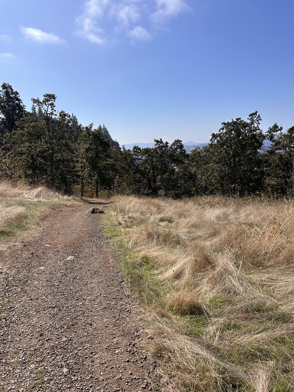
This is a Lane County park, not a City of Eugene free lot. A day pass or annual pass is required. Lane County currently lists an all-parks day pass at $5 (card machine or Passport Parking app, code 97306) and an annual pass at $40. Through October 2026 the county has flagged construction at the Arboretum / main summit lot — trails stay open; North Bottomlands or the East trailhead may be the easier park. Confirm on the county page the morning you go. Spencer Butte is the free in-town comparison. Pisgah is the pass.
Why this sits on a real estate site
The trailhead mailing address is Eugene 97405. The people who hike it before work live Springfield, Thurston, and the Seavey Loop edge. Relocators who only tour 97405 miss it. A Cal Young ranch with a Pisgah photo in the listing is a special trip, not a morning habit. Hiking near Eugene covers Ridgeline and day trips so this URL can own the summit query. Living in Springfield is whether the east-metro life actually fits.
Mt. Pisgah hike map vs the arboretum
People searching “Mt. Pisgah hike map” usually want Trail #1 / Trail #2 mileage on the Lane County HBRA brochure — not the 209-acre Mount Pisgah Arboretum loop PDF. The arboretum maps the river-bottom and hillside education trails. Summit mileage belongs to the county park page and the trails brochure. Do not mash them because both say Pisgah.
Springfield homes if Pisgah is the Saturday
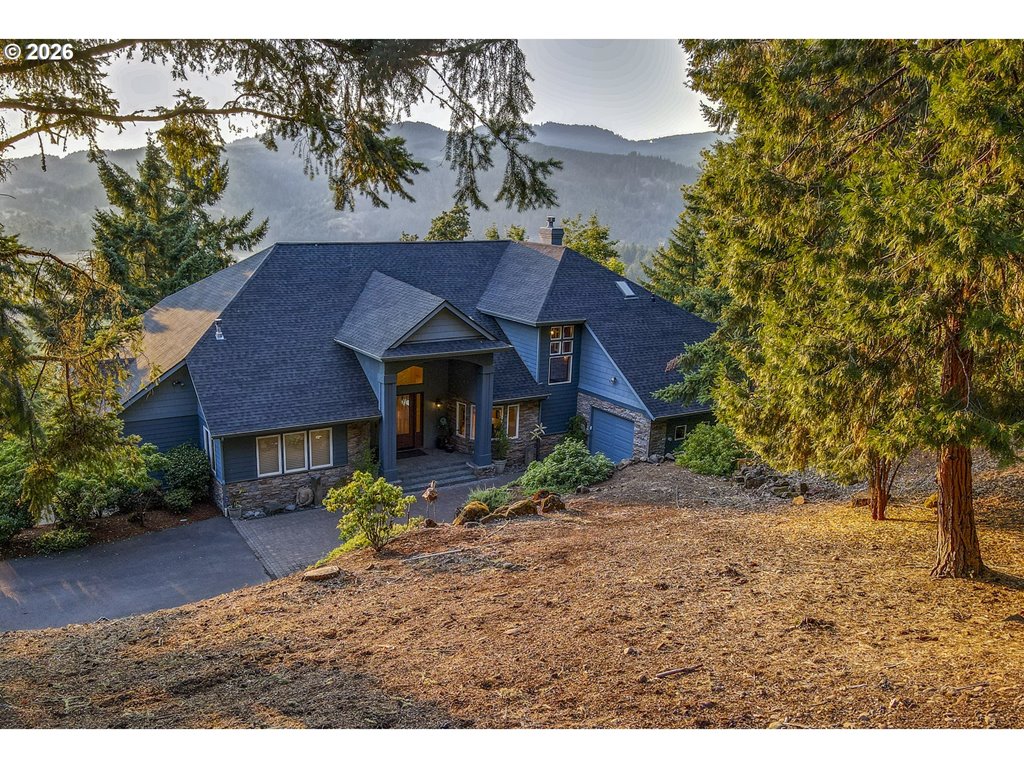
35662 High Ranch Dr
Springfield, OR 97478
$1,145,000
3 bd · 3.2 ba · 5,213 sf · Springfield
Courtesy of Stacy Haugen and Jon Burke, Triple Oaks Realty LLC · 541-915-3888 · RMLS · Sep 22, 2026, 7:25 AM


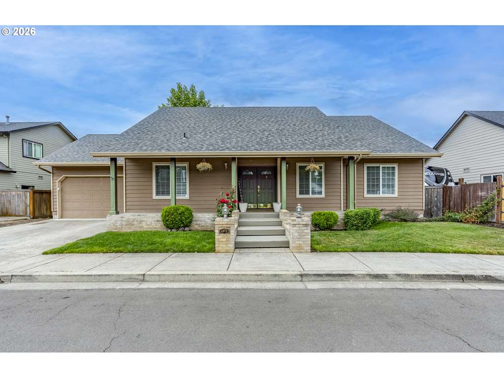
6876 Simeon Dr
Springfield, OR 97478
$429,000
4 bd · 2.0 ba · 1,664 sf · Springfield
Courtesy of Melissa Stiltner and Jon Burke, Triple Oaks Realty LLC · 541-225-8815 · RMLS · Sep 22, 2026, 7:25 AM

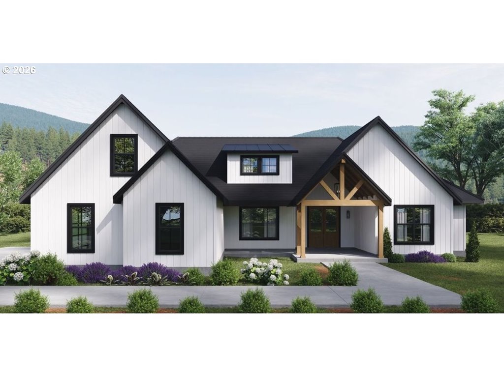
Oakshire DR Unit 11
Springfield, OR 97478
$1,150,000
4 bd · 4.1 ba · 2,968 sf · Springfield
Courtesy of Angela Burrell, Triple Oaks Realty LLC · 541-517-4038 · RMLS · Sep 19, 2026, 7:14 AM
Listed by
Angela Burrell
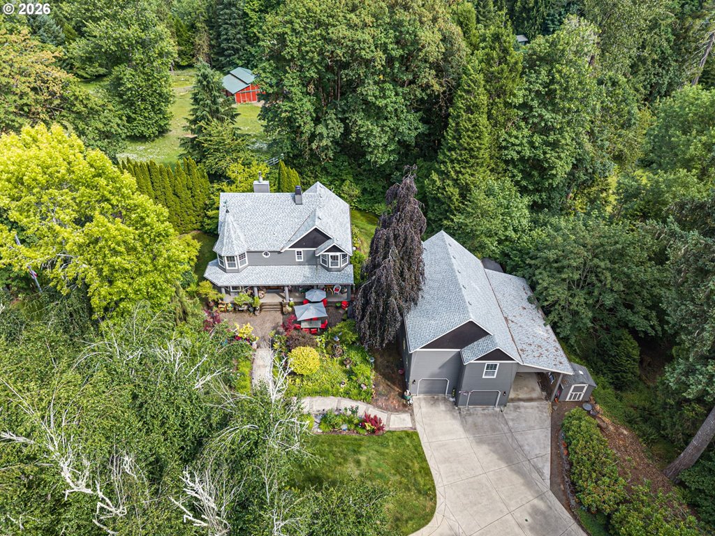
42092 Holden Creek Ln
Springfield, OR 97478
$995,000
3 bd · 2.1 ba · 4,032 sf · Springfield
Courtesy of Hillary Baker, Triple Oaks Realty LLC · 541-285-3339 · RMLS · Sep 19, 2026, 7:14 AM
Listed by
Hillary Baker
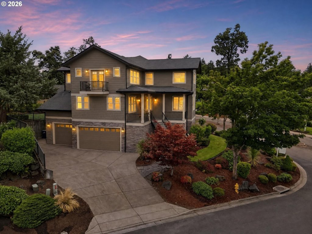
6107 Forest Ridge Dr
Springfield, OR 97478
$950,000
4 bd · 4.1 ba · 4,139 sf · Springfield
Courtesy of Rachel Buciarski, Triple Oaks Realty LLC · 503-860-2201 · RMLS · Sep 19, 2026, 7:14 AM
Listed by
Rachel Buciarski
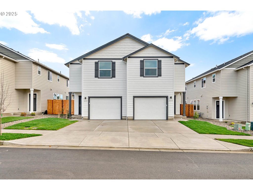
1171/1173 S 43rd Pl
Springfield, OR 97478
$720,000
Beds — · 3,107 sf · Springfield
Courtesy of Lucas Walker, Triple Oaks Realty LLC · 541-817-9287 · RMLS · Sep 19, 2026, 7:14 AM
Listed by
Lucas Walker
A real fork
“We hike every weekend” — South Hills vs Thurston
If that means Spencer and Ridgeline before school drop, the ridge is the file. If that means a Saturday summit, a flatter lot, and Springfield schools, Thurston plus Pisgah is the honest version. Shawna will not let a Seattle hiking blog pick the zip.
Mount Pisgah hike Eugene — questions
How long is the hike to Mount Pisgah?+
In Eugene, Trail #1 from the west lot is about 1.5 miles one way, roughly 3 miles round trip. AllTrails user tracks often land between 2.9 and 3.5 miles RT. Plan about 1.5–2 hours.
How long does it take to hike up Mount Pisgah?+
Most hikers spend 1.5–2 hours round trip on Trail #1. AllTrails averages closer to two hours. It is a steady climb, not a stroll.
Is Mount Pisgah a hard hike?+
Moderate because it is steep, not because it is technical. The first half of Trail #1 is the grind. Little shade. The Mount Pisgah Arboretum loops in Eugene are the easy option; they are not the summit.
Is there a Mount Pisgah trail in Eugene, Oregon?+
Yes. The summit trail is in Howard Buford Recreation Area on Seavey Loop, Eugene 97405 — about 15–20 minutes from downtown. It is not the Asheville, North Carolina hike.
Is there a parking fee at Mt. Pisgah?+
Yes. Howard Buford Recreation Area is a Lane County park. A day pass or annual pass is required. The county currently lists a $5 all-parks day pass — confirm on lanecountyor.gov before you go.
Where is the Mt. Pisgah hike map?+
Lane County’s HBRA trails brochure lists Trail #1 and Trail #2 miles and gain. The Mount Pisgah Arboretum publishes a separate map for its river-bottom loops — those are not the summit workout.
What’s unique about Mt. Pisgah, Oregon?+
Oak savanna, a 1,518-foot valley summit, and a Lane County parking pass — 15–20 minutes east of downtown Eugene. It is not the Asheville hike and not the arboretum loops.
Can I bring a dog on the Mount Pisgah hike?+
Dogs are common. Leash rules apply on the main summit paths (Trails 1 and 2) and in the arboretum. Watch for ticks and poison oak. Read the managing agency, not a 2022 blog.
Which neighborhoods are closest to Mount Pisgah in Eugene?+
The trailhead mailing address is Eugene 97405 (Seavey Loop). The people who make it a habit live Springfield, Thurston / 97478, and that east-metro edge — not Cal Young.
Trail #1 or Trail #2?+
Trail #1 is the popular west-side summit from the main lot. Trail #2 is the longer east-ridge climb from Ridgeway. Both top out on Pisgah.
Is Mt. Pisgah in Eugene or Springfield?+
Lane County park, east of I-5, Seavey Loop. Eugene 97405 on the mailbox. Springfield-side on the housing map. That split is why relocators miss it.
Do I need a pass or reservation?+
A parking pass, not a hike reservation. Groups of 10+ should call the arboretum. Construction at the main lot through October 2026 can change which lot you use.