

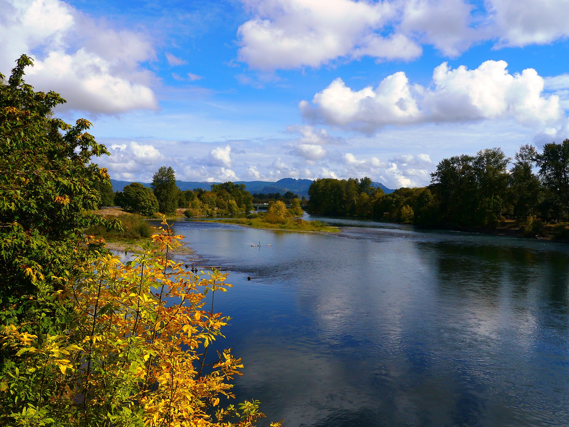
The answer
It is a useful option when you want a run on a softer surface or a walk within the park. Download the official Pre's Trail map before setting out; the bark course and the surrounding paved paths are separate routes with several connections.
How long is Pre's Trail?
The city map gives a total course distance of 4.07 miles and shows green, yellow, and red loops with connecting segments. Your actual distance depends on which loops you use, where you start, and whether you add an approach from parking or another part of the river path network.
For a first visit, select a loop you can identify on the map and note the return point. You can add distance once you are familiar with the intersections. If you are following a training plan, use a mapped course or your own measurement rather than treating every circuit through the park as the full trail.
Download the official Pre's Trail map before setting out.
Surface and terrain
The bark surface is the defining feature of Pre's Trail. It gives a different feel from pavement, but it can also be soft, uneven, or wet. Conditions vary with weather and maintenance.
The park setting makes this a different outing from a summit hike. There are still surface changes and path junctions to watch, so choose footwear and a pace that fit the day. For a stroller, wheelchair, or a preference for firm pavement, investigate Alton Baker's separate paved network.
The city describes lighting on the western loop. Do not assume that the full course is illuminated. Check sunset and select a route you can navigate safely if you expect to finish near dark.
Getting to the trail
Use the Alton Baker Park page and trail map to choose an entrance. The western park address is 200 Day Island Road, but that is one starting point for a larger park.
From the University of Oregon side of the river, the Dave and Lynn Frohnmayer pedestrian and bicycle bridge connects with the park paths. Look at the approach distance as well as the loop you plan to complete.
Football games, races, concerts, and other events can affect parking and activity in the area. Check park and event information if timing matters. A familiar weekday parking plan may work differently on an event day.
Running, walking, bikes, and dogs
Walkers and runners can use Pre's Trail. Stay aware of others, leave room to pass, and keep your group from blocking the route.
For a bike ride, plan around the paved shared-use paths and follow posted access rules. Do not assume that every connection in the park permits the same activities.
Keep dogs leashed unless you are inside a designated off-leash area. Alton Baker's fenced dog park is separate from the running course. Read our dog park guide if off-leash time is the main purpose of your visit.
Why is it called Pre's Trail?
The trail is named for Oregon distance runner Steve Prefontaine. The city connects its inspiration to the running trails he experienced in Scandinavia. Today, the bark course remains a recognizable part of Eugene's running landscape.
You do not need to be training for a race to enjoy it. Choose the distance and pace that suit your visit, whether that means a short walk, one loop, or the mapped course.
Making running access part of a home search
If you expect to use Pre's Trail regularly, test the trip from an actual address at your usual running time. Compare the walking, cycling, or driving route along with the property itself. Team Burke can help you evaluate those options without reducing your home search to a distance from the park.
Explore properties for sale
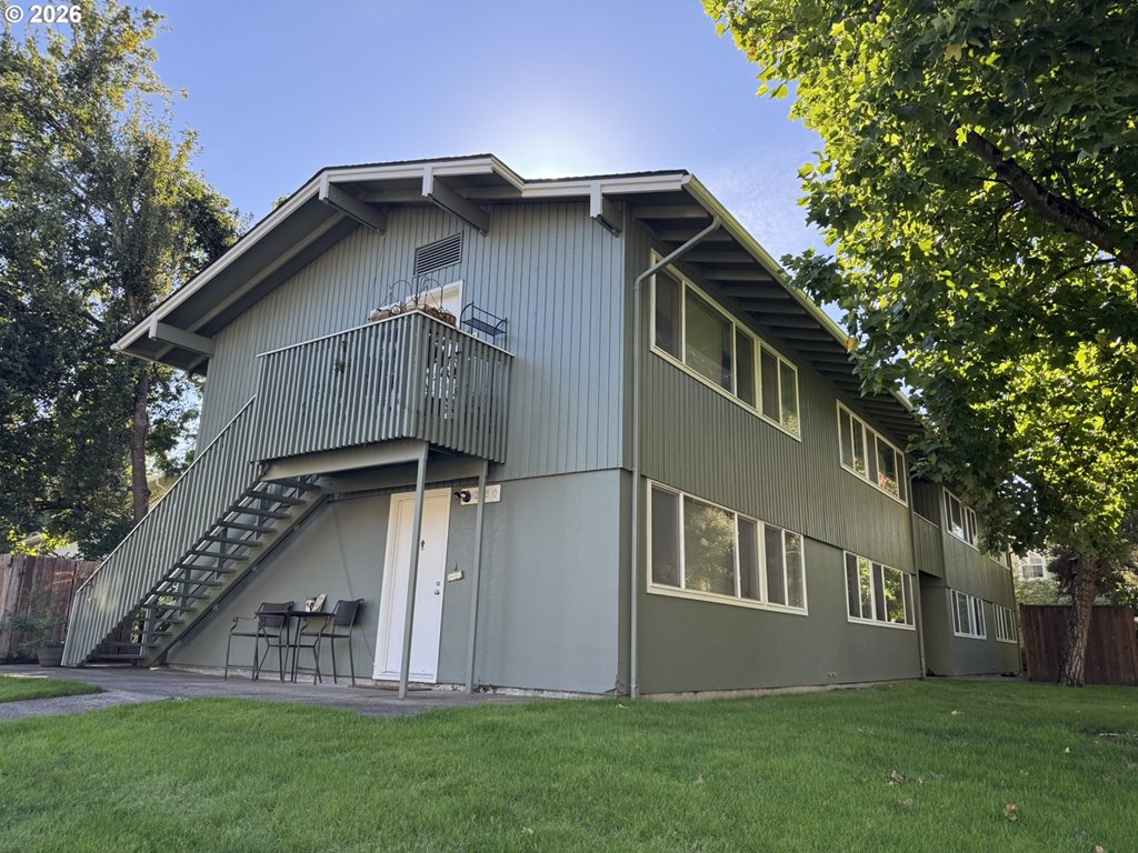

2180 W 17th Ct
Eugene, OR 97402
$572,500
Beds — · 2,322 sf · Eugene
Courtesy of Blake Davis and Darren Stone, Jennings Group Inc · 541-683-2271 · RMLS · Nov 2, 2026, 8:31 PM
Listed by
Blake Davis and Darren Stone
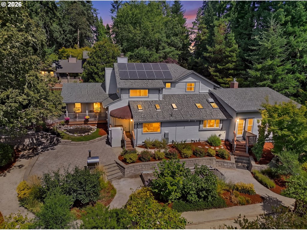
2294 Mclean Blvd
Eugene, OR 97405
$985,000
3 bd · 2.1 ba · 3,062 sf · Eugene
Courtesy of Tyler Demers, Berkshire Hathaway HomeServices Real Estate Professionals · 541-485-1400 · RMLS · Nov 2, 2026, 8:30 PM
Listed by
Tyler Demers
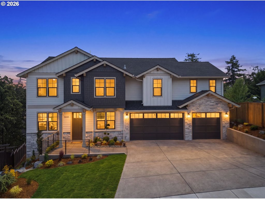
3445 Summit Sky Blvd
Eugene, OR 97405
$1,149,000
4 bd · 3.1 ba · 3,783 sf · Eugene
Courtesy of David Shevchenko, Atlas Realty Advisors LLC · 503-939-4632 · RMLS · Nov 2, 2026, 8:28 PM
Listed by
David Shevchenko
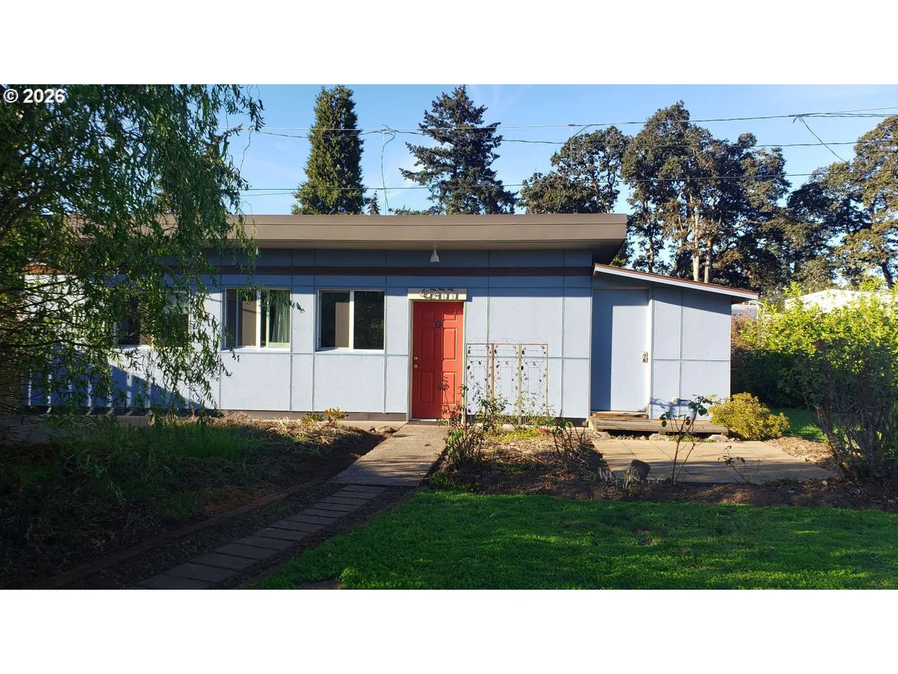
4377 E 20th Ave
Eugene, OR 97403
$270,000
2 bd · 1.0 ba · 700 sf · Eugene
Courtesy of Roger Lowe, Lowes Flat Fee Realty A Homezu Partner · 971-337-2400 · RMLS · Nov 2, 2026, 8:25 PM
Listed by
Roger Lowe
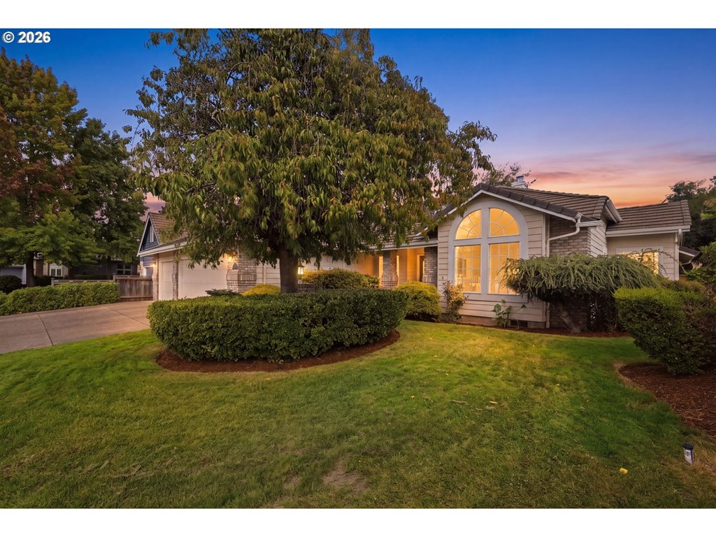
3115 Metolius Dr
Eugene, OR 97408
$789,000
4 bd · 2.0 ba · 2,484 sf · Eugene
Courtesy of Betty Lou Duncan and Joshua Cooley, Keller Williams The Cooley Real Estate Group · 541-359-1999 · RMLS · Nov 2, 2026, 8:02 PM
Listed by
Betty Lou Duncan and Joshua Cooley
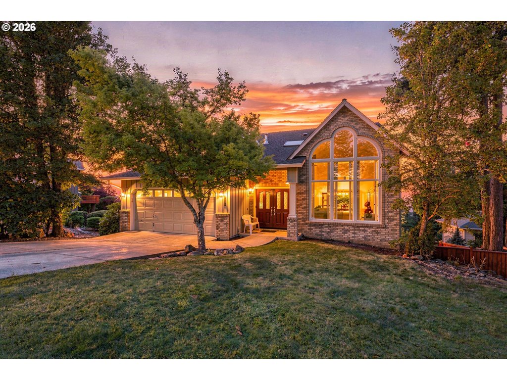
3362 Bentley Ave
Eugene, OR 97405
$729,000
6 bd · 4.0 ba · 3,579 sf · Eugene
Courtesy of Amy Jackson, Premiere Property Group LLC · 503-670-9000 · RMLS · Nov 2, 2026, 7:55 PM
Listed by
Amy Jackson
Pre's Trail questions
How many miles is Pre's Trail?+
The city map lists 4.07 miles for the full course. Shorter loop combinations and your approach route change the distance you actually cover.
Can you walk Pre's Trail?+
Yes. Be aware of runners approaching from behind and leave space for people to pass at different speeds.
Is Pre's Trail the same as the river bike path?+
No. Pre's is a bark-surfaced course within Alton Baker Park. The paved shared-use paths form a separate network that connects with other river routes.
Is the entire trail lit?+
Do not plan on that. The city identifies lighting on the western loop; check your chosen route and daylight before an evening outing.
Where should I park?+
Choose a lot or park entrance using the city map, based on the loop you want to use. Check event-day arrangements before relying on the western lots.